Hartlepool Sports & Leisure
Hartlepool Transport
A Potted History Of Hartlepool
Hartlepool Trade & Industry
Hartlepool Health & Education
Hartlepool People
Hartlepool Places
Hartlepool at War
Hartlepool Ships & Shipping

Related items :
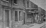
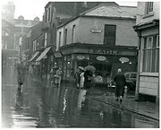
 Brunswick West Hartlepool
 Donated by Hartlepool Library Service
Part of the Hartlepool Public Houses collection
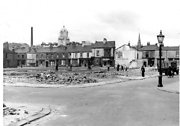
Christ Church Hall, Brunswick Street
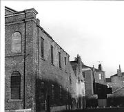 Donated by Hartlepool Library Service
Part of the Library collection collection
Dated 1966
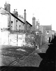
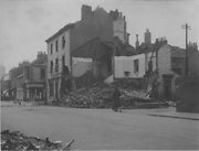
Tower Street south from Christ Church
 Created by West Hartlepool Council
Part of the Library collection collection
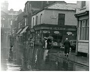
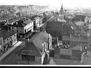
Created by West Hartlepool Council
Part of the Library collection collectionDated 1955