The term ‘message in a bottle’ conjures up romance and mystery but, in most instances, this could not be further from the truth. Many of the stories of bottles containing messages washed ashore allegedly from doomed ships were hoaxes although there were a few that were all too real. If one could imagine being on a sailing vessel during a fierce storm with nothing but the wild sea washing over the decks the human instinct would be to fight for survival until the very end. The story of the message sent from the schooner Glory was written by a man who was at peace and had resigned himself to death. His last thoughts were of his family and, by his actions, at least his fate and that of his crew became known.
Although John was not born in Hartlepool he became master of a Hartlepool owned ship and his wife and children remained in the town after his death. Because of the poignancy of his story it is well worth including under Notable People.
John Loynes was born at Holt, Norfolk on 22nd February 1818 to parents Ann (nee Field) and Thomas Loynes. It appears that he first sailed on board a ship as an apprentice in 1839 which would put him at the age of about 21 which, in those times, was rather old to begin a seafaring career. What he did for a living prior to that is uncertain. The records for John are very sparse but he was aboard ship as a seaman from June to December 1845 and in December 1846. From 1851 to 1853 he was aboard ship, it appears as a seaman and a mate. He never applied for his master’s certificate. John married Ann Russell on 3rd February 1847 at Fylingdales, Yorkshire. The couple had six children during their marriage, Ann b. October 1849, Thomas b. June 1851 and John b. March 1854 all at Thorpe. The family were then residing at Robin Hood’s Bay with John sailing between Whitby and London. By 1856 the family had moved to West Hartlepool with Jane Russell b. June 1856, Sarah b. October 1860 and Robert Russell b. October 1862 all at Stranton, West Hartlepool. The youngest child, Robert, was born two days after his father’s ship was lost at sea.
After the tragedy, articles in religious magazines and stories from people who knew him described John as devoted, loving, consistent, cheerful and a humble Christian. He was also known as a kind and caring man and was well known at the Sailors’ Institute at Shadwell, London. He was a member of the Church of Christ and was deeply religious living and preaching the gospel both on land and aboard ship.
When John died in October 1862 he left effects of under £100.
Ann was awarded £16 5s by the Shipwrecked Mariner’s Society with liberty to apply for an annual grant to help over the first four or five years of her widowhood.
The Glory foundered at sea on 19th October 1862.
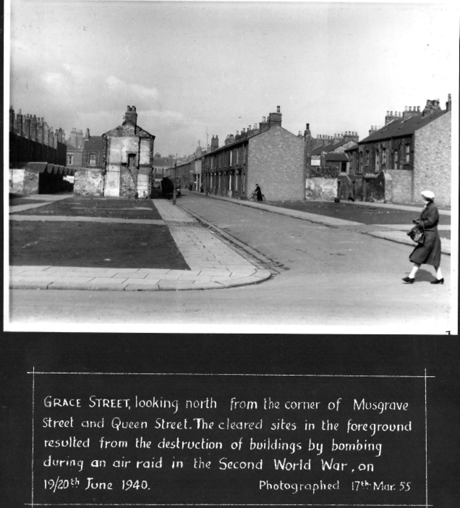
On 23 October 1862, a name-board which read ‘Glory, Hartlepool’ was washed up at Sonderho, Denmark. On the same day a tightly corked bottle was picked up on Nordby Strand, Denmark which contained a note from John Loynes, the master of Glory. It was addressed to his wife at 42 Grace Street, Stranton, West Hartlepool:
‘At Sea, October 19th, 1862.
My Dear Wife,
Before you get these few lines I shall be in heaven. Our ship, the Glory of West Hartlepool, is just about foundering. The pumps are both choked. John Hunter has his leg fractured by a sea breaking. We have had nothing but gales of wind, and we are almost a wreck. But thank God we are resigned to our heavenly Father's will. My men are all made happy in the Saviour's love. They were all crying for mercy, and they all found peace. The lad, John Hunter, was one of the brightest conversions I ever saw. My dear wife, I have left you in the hands of the Lord. I know He will provide for you and the dear children, and I hope you will all meet me in heaven. May He grant it for Christ's sake,
Your loving husband John Loynes.’
P.S. Send word to Wells, to Mrs Gill, and to London, to Mrs Margett’s, and to John Hunter’s friends.
More detail »


 Hartlepool Sports & Leisure

 Grace Street